Our meandering adventure continues. Today we went by a sign that said Hells Canyon was only 8 miles away. That is where we were two days ago. Tonight we are farther north than Astoria, Oregon where we started our adventure. We are also back in the Pacific time zone. However, we are seeing lots of great countryside. Perhaps tomorrow we will travel East.
This morning we continued to travel North on US Highway 95 along the Salmon River. It was downhill for 27 miles.
Then we turned onto Old Highway 95 and left the Salmon River. Now it was uphill into a little town named White Bird. Both Chad and I had a guy run up to us and warn us that they were applying chip seal to the road ahead. Chip seal is a liquid tar sprayed on the road that is covered with fine crushed rock.

White Bird is where Lewis and Clark crossed the Salmon River on their journey. Just outside of town is the location of the Battle of White Bird Canyon in 1877. This was the first battle of the Nez Perce War and was a significant defeat for the U. S. Army. White Bird was the chief of the Nez Perce. I stopped briefly at the battleground. You could almost hear the horse’s hooves.
Then back to Old Highway 95 to climb White Bird Hill. You could see our road zigzagging up the hill as you approached.
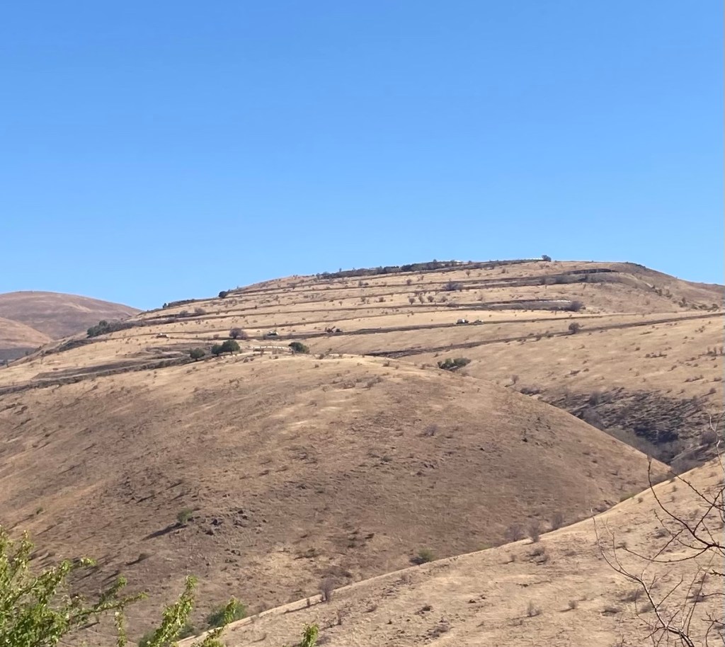
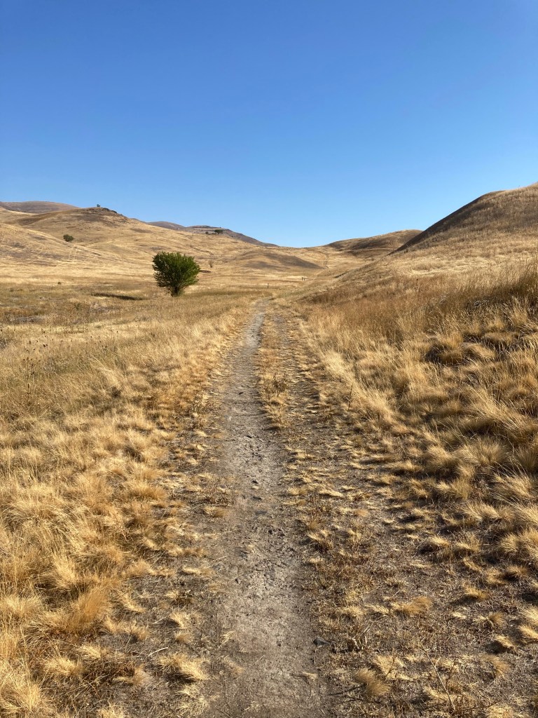
At the base of the hill was a flag lady (whose ancestors came from Iowa in 1910) to warn us that they were applying chip seal to the road ahead. Joe took a movie of Herb motoring up the hill. You can get a sense of how vast the countryside is in Idaho.
At the top of the hill was another lady in a pick up truck. Her job was to escort us around the chip seal zone. We were instructed to follow her and stay in the left lane. So we did.
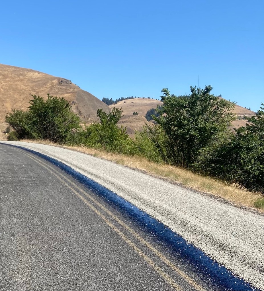
Fortunately for us they had only applied the chip seal to the right hand lane. They were in the process of turning the machinery around where the old Highway met the new one. So we didn’t have to ride in fresh chip seal. After all the buildup we were a little disappointed.
According to the pick up truck lady, this road only gets 3 or 4 cars a day. Chip seal is applied in sections so that each section is never more than four years old. All this because it is still a federal highway. It does make for a great cycling road. Thank you taxpayers.
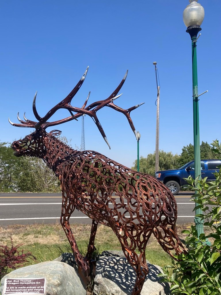
After White Bird Hill we ended up in Grangeville, Idaho. Check out this elk made from 600 horseshoes.
After Grangeville the land was fairly flat with gigantic fields. There was a checkerboard pattern of fields that were burnt. We could see smoke in the distance.
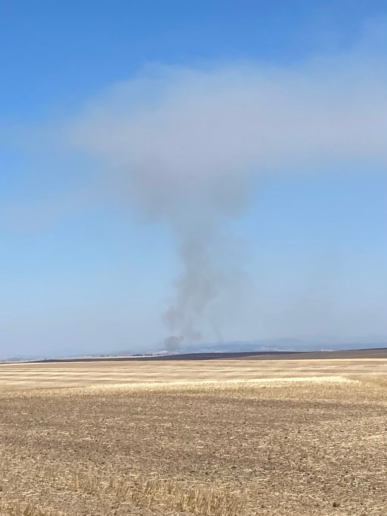
As we rode alongside the fields we could smell the burnt ground.
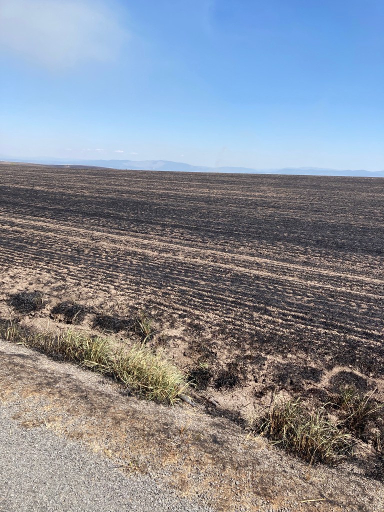
We learned later that these fields were planted with rapeseed (for canola oil) and that they burn them after harvesting. We rode through the fields for about 15 miles.
About 5 miles from Stites, Idaho we fell into a crevice. All of a sudden we were going downhill fast, eyes watering with our knuckles turning white from squeezing the brakes. At times you literally could not see ahead of you because the ground dropped away so quickly. What a rush!
We are staying at the Idaho Sportsman Lodge in Stites, Idaho. We are near the South Fork of the Clearwater River.

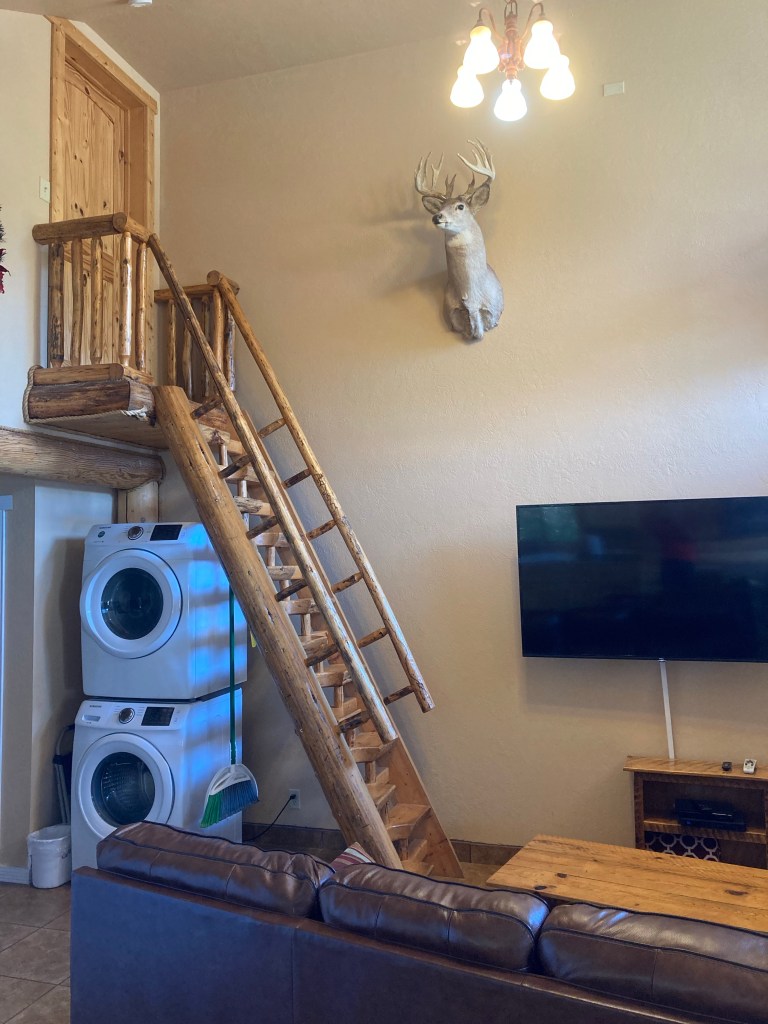
We are living large tonight!
Stats
- Riggins to Stites, Idaho
- Distance: 71.4 miles (115 km)
- Climbing: 3939 feet (1201 m)
- Temperature: 46 – 77°F (8 – 25°C)

Thanks for the impressions! I love to follow your blog!
LikeLike